Low Poly North Beach
Blender: Importing Reference
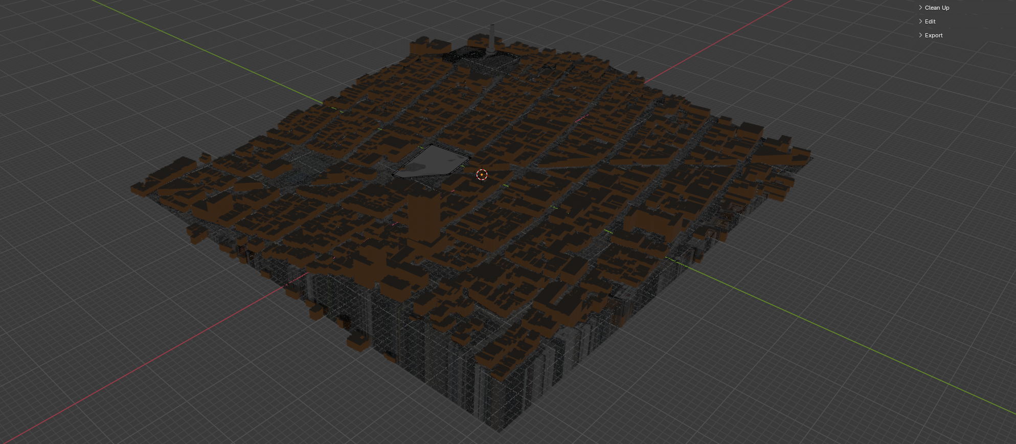
Combine the Blosm buildings with USGS topography data using geometry nodes to set them at the correct elevation.
North Beach Coords: -122.41471,37.79653,-122.40409,37.80388
Blosm Options
import: buildings, roads and paths
Then import Terrain
Then..........
Use this script to face project the buildings to the Terrain.
import bpy
import mathutils
import bmesh
from mathutils.bvhtree import BVHTree

# Get terrain and building collection
terrain = bpy.data.objects["Terrain"]
buildings = bpy.data.collections["all_buildings"].objects

depsgraph = bpy.context.evaluated_depsgraph_get()
terrain_eval = terrain.evaluated_get(depsgraph)
terrain_mesh = terrain_eval.to_mesh()

# Create bmesh and BVH tree from terrain
bm = bmesh.new()
bm.from_mesh(terrain_mesh)
bm.transform(terrain.matrix_world)  # Important: account for object transforms
bm.normal_update()
bvh = BVHTree.FromBMesh(bm)

# Raycast each object to terrain
for obj in buildings:
    if obj.type != 'MESH':
        continue

    # Get world-space bounding box corners
    bbox_world = [obj.matrix_world @ mathutils.Vector(corner) for corner in obj.bound_box]
    min_point = min(bbox_world, key=lambda v: v.z)

    ray_origin = min_point + mathutils.Vector((0, 0, 1000))
    ray_direction = mathutils.Vector((0, 0, -1))

    hit = bvh.ray_cast(ray_origin, ray_direction)


    hit = bvh.ray_cast(ray_origin, ray_direction)

    if hit is not None and hit[0] is not None:
        location, normal, index, distance = hit
        delta_z = location.z - min_point.z
        obj.location.z += delta_z
    else:
        print(f"[WARN] Raycast missed for object '{obj.name}' at XY = ({min_point.x:.2f}, {min_point.y:.2f})")

# Cleanup
bm.free()
terrain_eval.to_mesh_clear()
Blosm → Import Satellite Imagery with Mapbox API Key @ Terrain
Scale increase: Z-axis 1.5x
Unity Import
Position: X: -40 Y: -20 Z: 40
Paste this into the position: Vector3(-40,-20,40)
Select Verticies of all buildings
Park
Benches
Use Alt - D to use Instancing.
Curbs
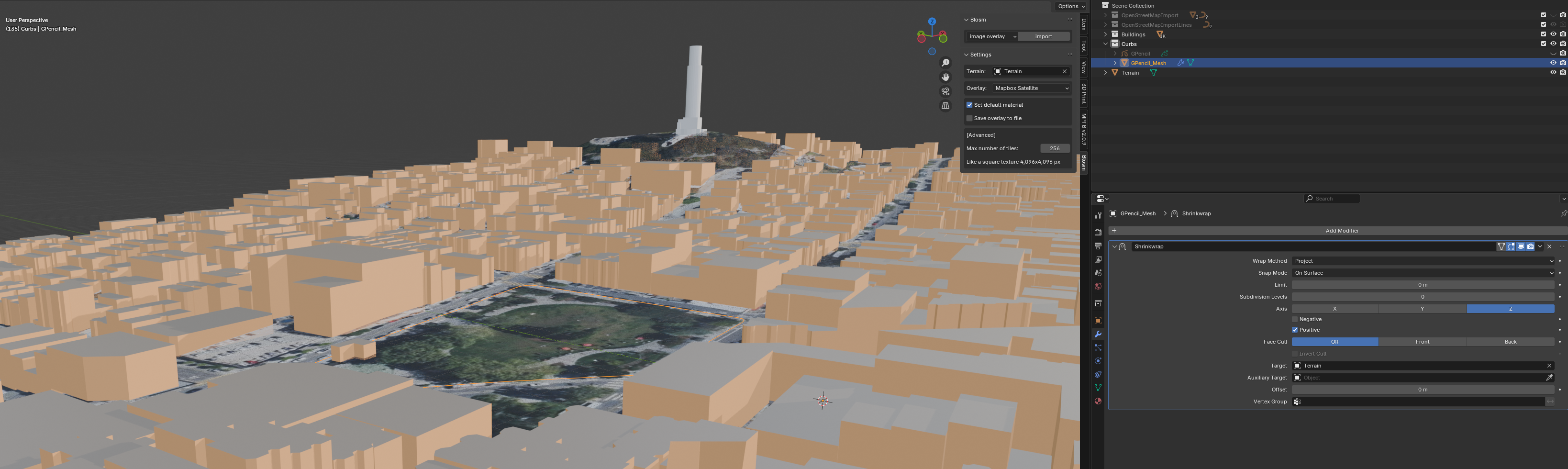
- Make Plane
- Cover Area
- Grid it with Loop Cuts
- Modifier → Bevel → 4m and 5 segments
Ctrl - Shift - B - Shrinkwrap to Terrain
- Extrude 0.2m
Edit Mode
Use Grid Fill or Loop Cuts instead of F (works best for more regular shapes):
Gameplay Mechanics
-
Trigger Zone
- Camera Zoom
- Color Change